


The India Meteorological Department (IMD) has issued a significant weather alert for Andhra Pradesh and Tamil Nadu, forecasting a prolonged period of heavy to extremely heavy rainfall, thunderstorms, and high-speed coastal winds from November 27 to December 1, 2025. The developing conditions are the result of a well-marked low-pressure system positioned over the southwest Bay of Bengal, south Sri Lanka, and adjoining Equatorial Indian Ocean, which is expected to intensify and move closer to the South Indian coastline over the coming days.
Major Weather Systems Influencing Southern India
According to the IMD bulletin, the key system—located over the Bay of Bengal—is acting as a major moisture-feeding mechanism, bringing continuous convective activity into Tamil Nadu and coastal Andhra Pradesh. Meteorologists warn that the combined impact of this system, along with cyclonic circulation in adjoining regions, may lead to severe weather fluctuations, including storm-like wind patterns and thunderstorm activity across the southern peninsula.
Tamil Nadu to Witness Intense Rainfall
Tamil Nadu is expected to face the strongest impact between November 29 and 30, with districts including Chennai, Chengalpattu, Cuddalore, Villupuram, Nagapattinam, Mayiladuthurai, and Puducherry/Karaikal region likely to experience heavy to extremely heavy rainfall. Urban centres such as Chennai have been advised to prepare for waterlogging, drainage overload, and traffic disruption due to back-to-back rain spells.
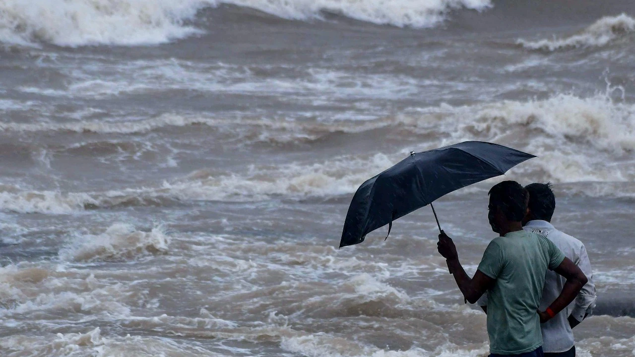
Lightning, thunderstorms, and surface winds of 50–60 kmph may accompany the rainfall during peak activity.
Rainfall Impact on Andhra Pradesh & Rayalaseema
Coastal Andhra Pradesh districts, including Nellore, Prakasam, Krishna, Bapatla, East Godavari, and West Godavari, may see heavy to very heavy rain beginning November 29, with thunderstorms expected across Rayalaseema.
These conditions raise concerns about agricultural damage, flooding in low-lying coastal villages, and disruption of travel routes.

Marine and Coastal Warnings Issued
Sea conditions across the Bay of Bengal, Gulf of Mannar, and Comorin region are predicted to become highly dangerous, with squally winds reaching 60–75 kmph. IMD has issued strict advisories:
- Fishermen must avoid venturing into the sea
- Boats currently offshore should return immediately
- Coastal communities must remain on alert for tidal surges
Temperature Trends Across India
While rainfall dominates southern India, central and western states will experience a fall of 2–3°C in minimum temperature, signalling early winter patterns. Northeast India is expected to remain stable with minimal variation.
Preparedness Measures Urged
Emergency teams are coordinating across both states to monitor reservoirs, traffic flow, electrical infrastructure, and disaster-response protocols. Citizens have been advised to:
- Avoid unnecessary travel during peak weather days
- Follow official IMD and disaster-management advisories
- Stay away from beaches and open coastal areas
- Ensure backup power, water, and essential supplies
The evolving weather situation calls for high vigilance from residents, administration, and emergency response systems. Continuous monitoring and adherence to safety measures will be essential to mitigate risks during this severe weather window.